What is groundwater and where does it come from?
These aquifers are formed by rainwater or water from ponds, lakes, rivers, and streams seeping through layers of soil and rock.
Depending on the geological structure, groundwater can exist in two main forms: shallow aquifers (unconfined water) and deep aquifers (confined water). Shallow aquifers are often easily affected by weather and the surface environment, while deep aquifers located between impermeable clay layers usually have more stable and cleaner water quality.
(See the tip for finding groundwater using a stick here:) /do-tim-mach-nuoc-ngam-bang-thu-cong-khong-phai-ai-cung-biet-1393/ne.html
How to identify signs of groundwater without equipment
Without measuring equipment, you can rely on natural signs to locate groundwater:
- Observe the vegetation: Areas with trees like fig, banyan, ferns, bear grass, or other herbaceous plants that thrive even during the dry season are often locations of shallow groundwater.
- Transpiration: In the early morning or late afternoon, observe areas where fog rises more densely or the ground is wetter than the surrounding area. This is a sign of evaporation from underground water sources.
- Topography: Water tends to flow from high to low elevations and accumulate in depressions, foothills, or natural ravines. In these areas, the likelihood of finding a stable aquifer is significantly higher than in high-lying or barren areas.
However, you can also check out Mapping Water Detector at EMIN, or read more at: When do you need to use groundwater detection equipment?
Experience in locating groundwater sources for small wells and hand pumps
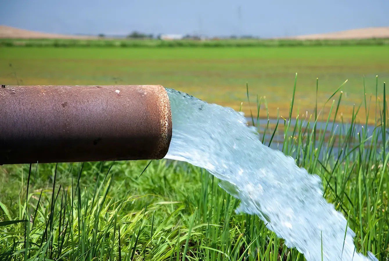
For households needing to drill small wells or install hand pumps, the goal is to find an aquifer with sufficient flow rate and clean water quality.
The most practical approach is to rely on data from nearby wells within a radius of 100-200m. If surrounding houses all have water at a depth of 30m, you can estimate the aquifer in your area. Additionally, during test drilling, if you find a layer of moist white quartz sand or small gravel, that's a sign you've reached a clean water aquifer. Avoid locations near manholes, livestock areas, or cemeteries to ensure the water source is not contaminated.
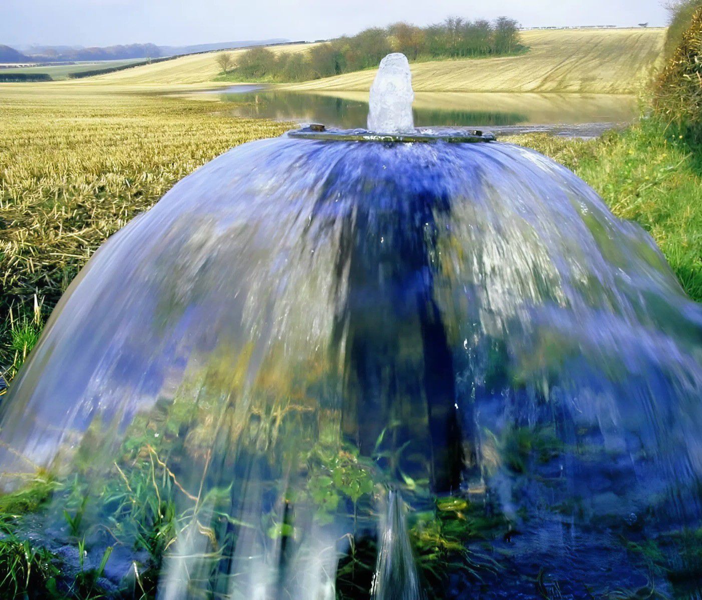
Determine the amount of water and the location of underground water pipes
To determine if water is abundant, the thickness of the aquifer needs to be considered. The thicker the sand and gravel layer, the greater and more stable the water flow. The location of groundwater pipelines (water channels) requires observation of the terrain slope.
An important note is determining the direction of flow to help you position the well at the source of the water channel, avoiding drilling only at the edge of the channel, which can lead to the well drying up quickly during the dry season.
Why is detecting groundwater becoming increasingly difficult?
Currently, due to climate change and excessive groundwater extraction from industrial and agricultural areas, groundwater levels have dropped significantly in many places.
Many areas that previously only required digging 5-10 meters to find water now require drilling 50-100 meters to locate the vein. Furthermore, the geological structure in some areas is very complex, with groundwater interspersed within layers of hard rock or separated by impermeable clay layers. In cases of difficult terrain or requiring absolute precision for large-scale construction, using specialized soil resistivity measuring equipment or stratigraphic sensors is the optimal solution to visualize the underground before deciding to drill.
![[EMINxKeysight] International Electronics & Smart Manufacturing Exhibition 2026](/s-cdn/6b/6b7bfde66a6bed35f68df9f0109b0179163d72d8.png)